


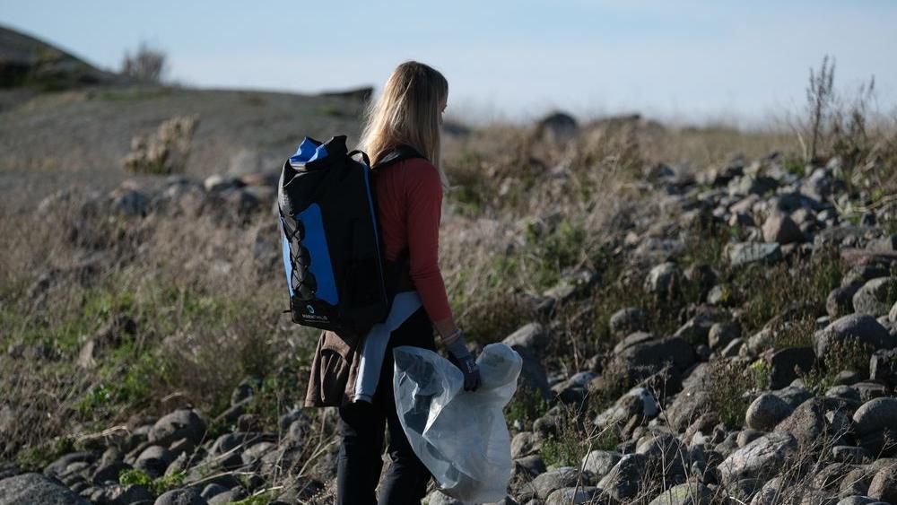
Rent hav is the tool for everyone working with marine litter and has been designed for administrators, coordinators and data collectors.
Rent hav provides:
- Overview – map data, national clean-up data and clean-up statistics
- Flow – links participants and tasks – from scheduled inspections to completed operations
- Prioritisation – shows areas with major or minor clean-up needs
Rent hav is a map and tool for planning, mapping, coordinating and prioritising using features and statistics. Rent hav also displays map data relating to nature and the environment, fishing, aquaculture, cultural heritage and public transport as relevant mapped information that you can use in your work against marine litter.
Rent hav can be accessed via a web browser and the dedicated field app.
A single place to share knowledge and data
Rent hav collects and manages data from beach clean-up operations dating back to 2013 and the old Hold Norge Rent clean-up portal, as well as registrations in Rydde and Rent hav. Rent hav also displays clean-up data from OSPAR and mapping data from several sources. The data collected in Rent hav provides users with the overview they require in their work against marine litter and, as the data volume grows, the basis for knowledge-based clean-up operations and prevention of marine litter will be strengthened.